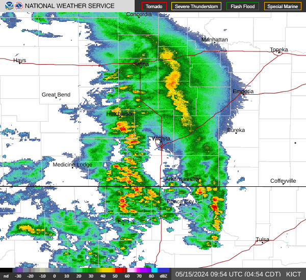
Radar
Satellite
Watches/Warnings
Current Temps
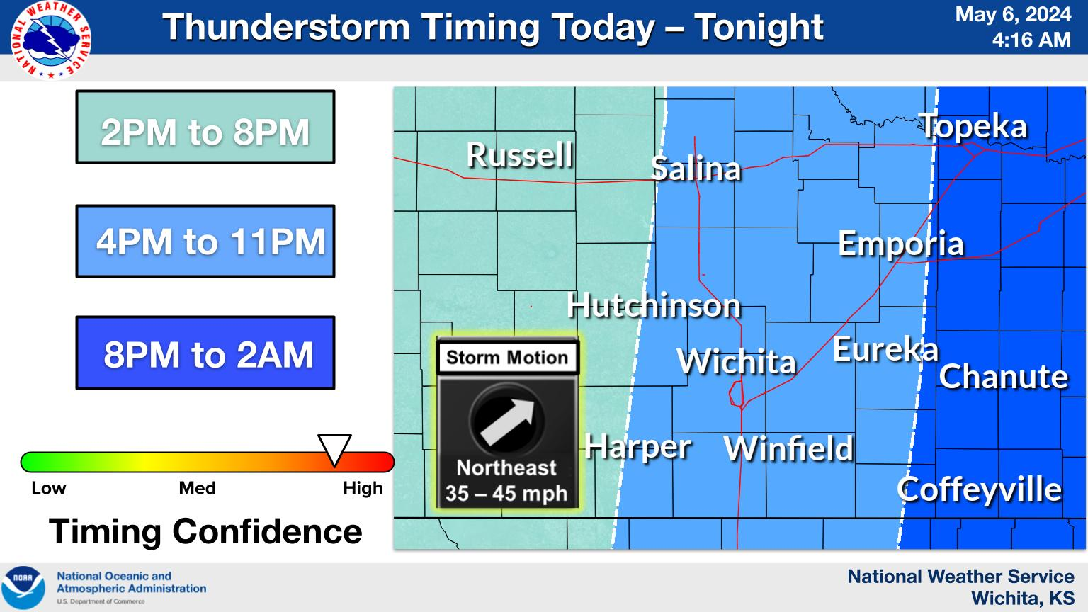
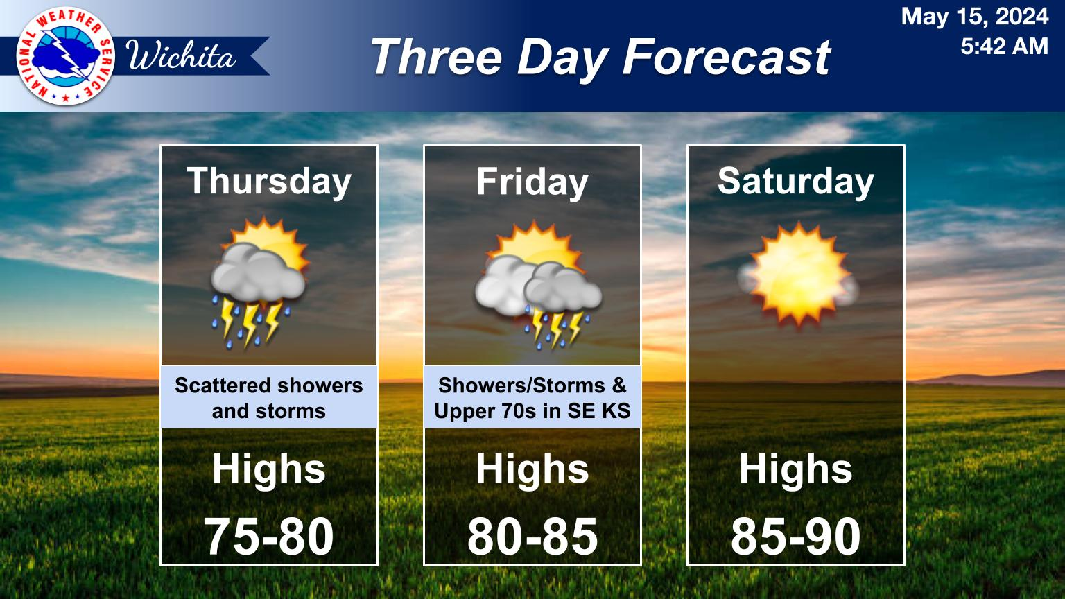
Outlook
Rainfall Amounts
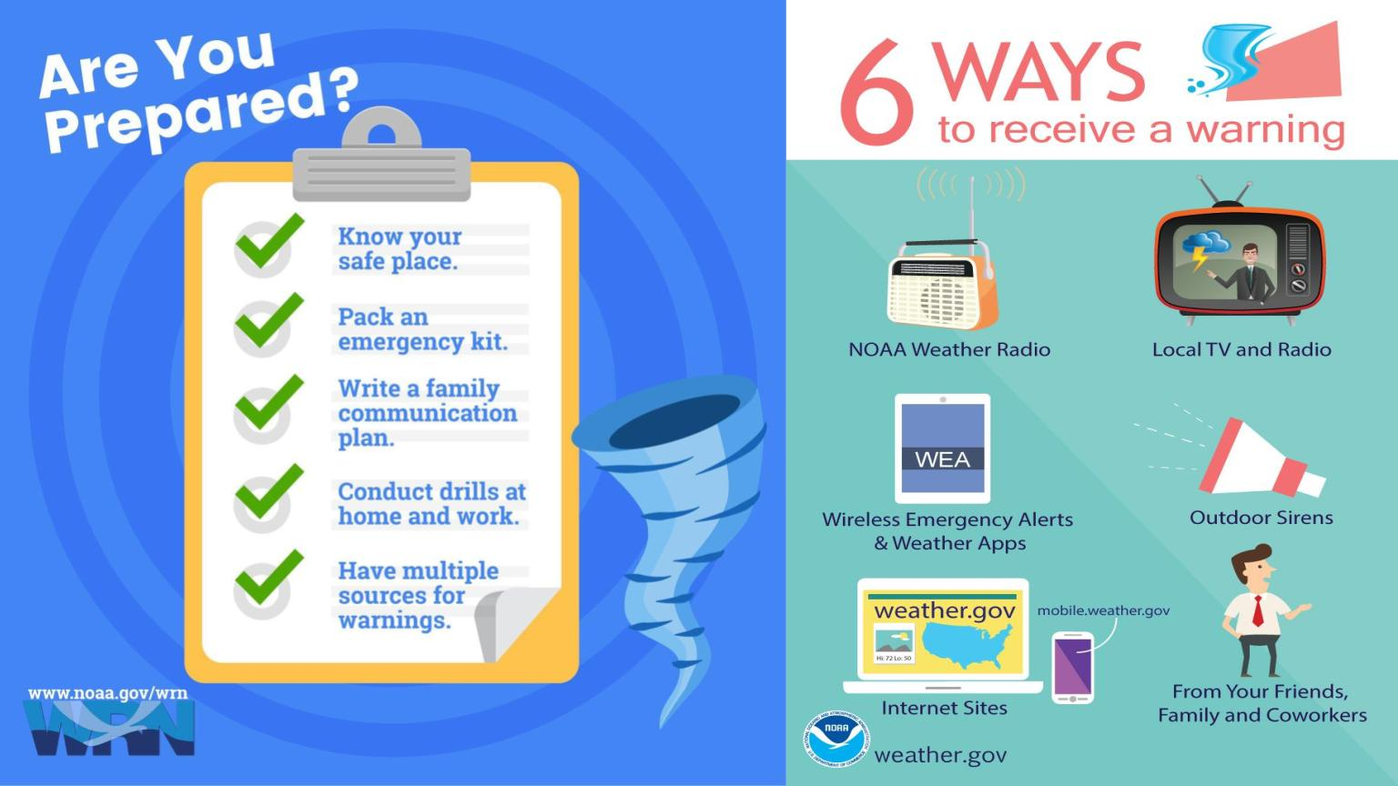
Resources
About
Donate
Convective outlook